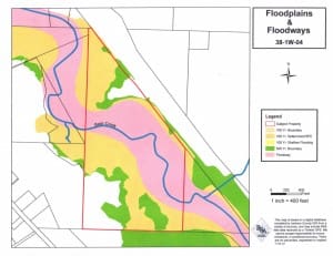
Richard Stevens & Associates, Inc. has the latest technology to prepare accurate, detailed, high-quality maps using GIS and GPS. All land use applications require some mapping, and using our GIS information, obtained through Jackson County, allows us to demonstrate proposals or issues affiliated with each property. When used in combination with our portable GPS unit, our site visits help us gather valuable information, which we combine with the GIS data to make required maps for land use applications. This process assists us in providing a complete property analysis for the land use application process.
