Feasibility and Project Analysis
Each planning project begins with a feasibility analysis so we can provide our clients with a planning project proposal to determine the best potential development possibilities for each property in question. Our feasibility analysis includes lot legality review, overview of existing conditions, identification of any areas of special concern or overlays, and archival research and evaluation of previous planning […]

Urban Land Use Planning Applications
We prepare and submit land use planning applications with Findings of Fact for zone changes, annexations, planned unit developments, conditional use permits, site plan reviews, and more. During this process, we work with a variety of experts and specialists to find solutions for our clients’ land use and planning issues.

Rural Land Use Planning Applications
Our planners gather the information needed for all feasibilities and resource land use planning applications. With that information, our planners prepare and submit applications for homesite approvals, partitions (ie: Measure 49), property line adjustments, setback exceptions, aggregate resources, farm uses, forest uses, accessory structures, conditional use permits, home occupations, zone changes, Measure 49 processes and applications, and more.

GIS and GPS Mapping
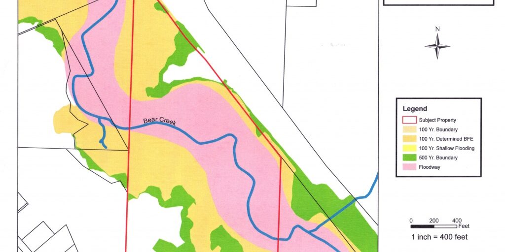
Floodplain & Floodway Richard Stevens & Associates, Inc. has the latest technology to prepare accurate, detailed, high-quality maps using GIS and GPS. All land use applications require some mapping, and using our GIS information, obtained through Jackson County, allows us to demonstrate proposals or issues affiliated with each property. When used in combination with our portable GPS unit, […]
